


After becoming the fourth major hurricane of the 2020 season, Epsilon will weaken a bit but remain a strong storm in the coming days.
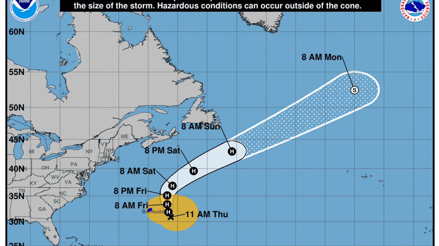
A weakening Hurricane Epsilon will make its closest approach to Bermuda on Thursday, forecasters said, delivering a glancing blow to the island nation with tropical-storm-force winds throughout the day.
As of 11 a.m. Thursday, the Category 1 storm had winds of 90 mph and its center was located about 235 miles from Bermuda, the National Hurricane Center said.
On Wednesday, Epsilon had gained 50 mph in wind speed in just 24 hours to become a major Category 3, 115-mph hurricane, officially qualifying as a rapidly intensifying storm.
It was the seventh storm of the 2020 season to power up this quickly, forecasters said.
Over the past couple decades, meteorologists have been increasingly worried about storms that blow up from nothing to a whopper, just like Epsilon. Forecasters created an official threshold for this dangerous rapid intensification – a storm gaining 35 mph in wind speed in just 24 hours.
In Bermuda, damage and adverse impacts from Epsilon will likely be isolated, but some downed tree limbs and power lines as well as localized street and poor drainage flooding will remain possible, AccuWeather senior meteorologist Rob Miller said.
Epsilon’s impacts are also forecast to reach beyond Bermuda: The storm will bring “dangerous and potentially life-threatening surf and rip currents” along the the East Coast of the United States and Atlantic Canada during the next couple of days, the Hurricane Center warned.
Forecasters eye developing storm that could become Zeta
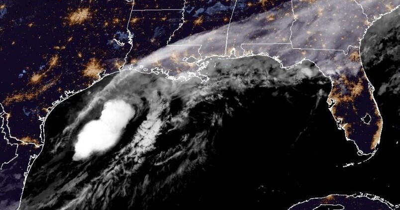
Elsewhere, forecasters were also watching a potential tropical system in the western Caribbean, one that has a 30% chance of development within the next five days.
Hurricane Center specialist Robbie Berg said in an early Thursday forecast that the area of low pressure was unlikely to organize over the next couple of days as it passes near Cuba and moves over the Florida Straits.
But late this weekend or early next week, some slow development is possible while it moves near the northwestern Bahamas.
If something develops, it would be named Zeta.
Regardless if it gets a name or not, it may bring more rain to an already waterlogged South Florida that remains on a flood watch through at least Thursday night.


