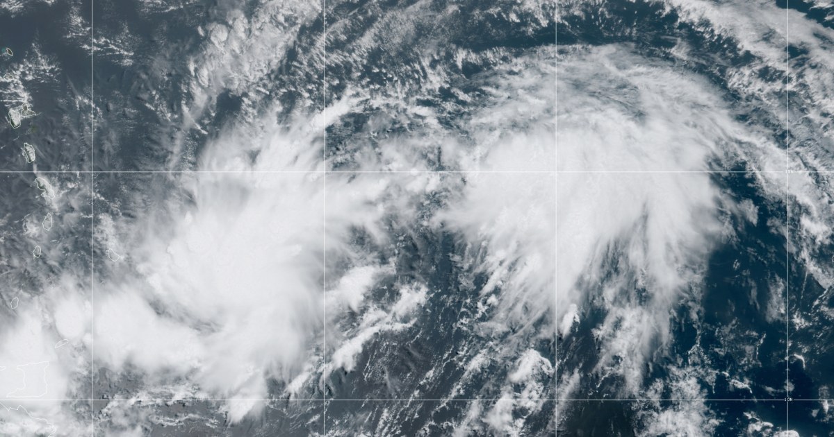
A new tropical disturbance is developing in the Atlantic Ocean and it could pose threats to Puerto Rico and Florida, the National Hurricane Center said Tuesday.
The hurricane center began issuing advisories on potential tropical cyclone nine, which was located about 585 miles east southeast of the Leeward Islands on Tuesday morning.
A potential tropical cyclone is a disturbance that is not yet a defined tropical cyclone, but has a high chance of formation. It allows the hurricane center to issue advisories for areas that could be affected before a depression or storm forms, therefore allowing for a longer lead time for locations that could be in harm’s way.
Let our news meet your inbox. The news and stories that matters, delivered weekday mornings.
At 11 a.m., the disturbance had maximum sustained winds of 40 mph and the system was moving west at 23 mph. The disturbance is expected to strengthen into a tropical storm before reaching the Leeward Islands sometime Wednesday, which is why a tropical storm warning was put into effect for Puerto Rico, the U.S. Virgin Islands, Antigua, Barbuda, the British Virgin Islands, St. Kitts and numerous other islands in the northeast Caribbean.
If it becomes a tropical storm, the next name on the list is Isaias. This would be the earliest “I’ name storm to form in the Atlantic on record, with the previous record being Irene from Aug. 7, 2005. The average date of the ninth named storm in the Atlantic is Oct. 4.
This will be hot on the heels of five other tropical storms that have set the same record this year for their corresponding letters: Cristobal, Edouard, Fay, Gonzalo and Hanna.
With Isaias imminent, meteorologists are practicing how to pronounce it properly. Pronounced “ees-ah-EE-ahs,” this four-syllable name puts the emphasis on the third syllable. Isaias comes from the Spanish and the Portuguese languages as a form of the biblical name Isaiah, which means “God is my salvation”.
Tropical storm conditions are expected to reach the Leeward Islands on Wednesday and Puerto Rico on Wednesday afternoon through Thursday. Three to six inches of rainfall with local amounts up to 10 inches are expected across the northern Leeward Islands and two to four inches of rainfall are expected across the Windward Islands. This amount of rainfall could produce life threatening flash flooding and mudslides.
The exact track and intensity of the storm remains uncertain but it may track close to Turks and Caicos and the Bahamas later this week and could potentially turn northwest and approach Florida this weekend.
Meanwhile, Tropical Storm Douglas continues to pull away from Hawaii after an extremely close call with the island chain. When it was a hurricane, the center of circulation missed making landfall on Oahu by just 30 miles with tropical storm force winds roaring just 10 miles offshore.
The hurricane center noted this was the closest a hurricane has come to Oahu since before Hurricane Dot in 1959.
