


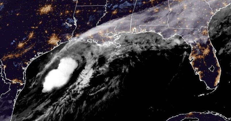
As Hurricane Milton bore down on Florida earlier this month, its strength and intensity magnified at a rapid pace as it became one of the most intense hurricanes on record in the Atlantic basin— and the strongest ever to hit the Gulf of Mexico late in hurricane season.
The storm formed as a tropical depression over the southwestern Gulf of Mexico on Saturday, October 5. By Monday, it was already a Category 5, with maximum sustained winds that peaked at 180 mph. Even though it had fallen back to a Category 3 storm as it came ashore on Florida’s central west coast, its speeds of up to 120 mph were still enough to destroy more than 120 homes and rip the roof off Tropicana Field.
Milton was the second Category 5 storm of the season after Beryl in July— making 2024 just the sixth year since 1950 (following 1961, 2005, 2007, 2017, and 2019) to experience two or more Category 5 hurricanes. The science connecting climate change to worsening hurricanes is increasingly clear; two recent analyses show that warming helped boost Hurricanes Helene and Milton. With warming temperatures on track to continue, how strong might the storms of the future be?
How warming temperatures supercharge storms
A number of factors help form a hurricane. According to Kerry Emanuel of the Massachusetts Institute of Technology, the two most important are the temperature of the ocean and the temperature of the air column up to about twelve miles.
In general, he says, the warmer those two elements are, the more energy a storm has available to develop into a tropical cyclone (known as hurricanes in the Atlantic and typhoons in the Pacific). Historically, he adds, nowhere on the globe has water been warm enough for tropical cyclone wind speeds to exceed approximately 200 miles per hour, and rare is the storm that comes close to that.
In fact, he says, “maybe one or two percent of all storms get close to this boundary.”
However, “as you raise the green


:max_bytes(150000):strip_icc():focal(849x0:851x2)/marc-fucarile-boston-marathon-041323-1-985c7593cda24fb8b242cff661eb3560.jpg)
