


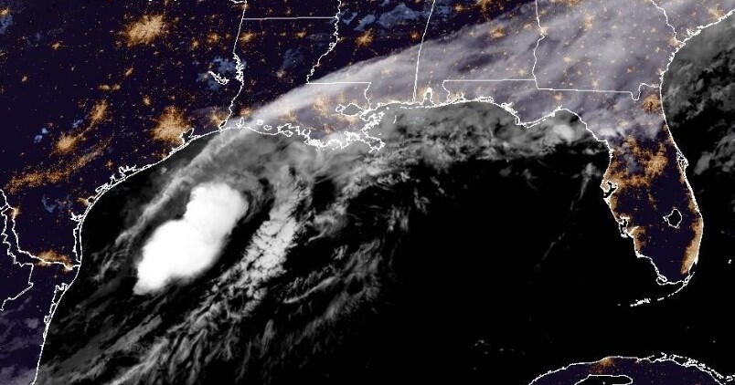
Erin was upgraded Friday morning from a tropical storm to a hurricane, a storm with sustained winds above 74 miles per hour, making it the first hurricane of the 2025 season. Despite a relatively calm storm season until now, forecasters are still anticipating higher-than-normal levels of activity, and the peak of the hurricane season lies ahead.
The National Hurricane Center is predicting heavy rainfall across the Virgin Islands and Puerto Rico through the weekend. The storm is projected to curve away from the US mainland, but parts of the East Coast are facing “significant risk of dangerous surf and rip currents along western Atlantic beaches next week.”
The hurricane season officially runs from June 1 until November 30 and typically has 14 storms strong enough to be named, meaning with wind speeds above 39 mph. This year is anticipated to be busier than usual, with forecasters expecting up to 18 named storms, and up to five that will turn into major hurricanes. That’s due in part to the El Niño cycle, which is currently in its neutral phase, creating atmospheric conditions more favorable to tropical storms. The surface of the Atlantic Ocean remains at above-average temperatures, and since hurricanes are powered by hot water, Erin may become the first major hurricane of the year.
“As we enter the second half of the season, this updated hurricane outlook serves as a call to action to prepare now, in advance, rather than delay until a warning is issued,” acting NOAA Administrator Laura Grimm said in a news release.
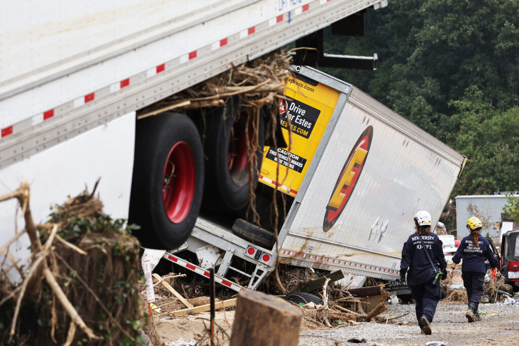
But a tropical storm doesn’t have to reach hurricane strength to cause death and destruction. The remnants of Tropical Storm Barry last month stalled over Texas, where they converged with another weather system and caused a massive downpour that led to deadly flooding in the state’s hill country.
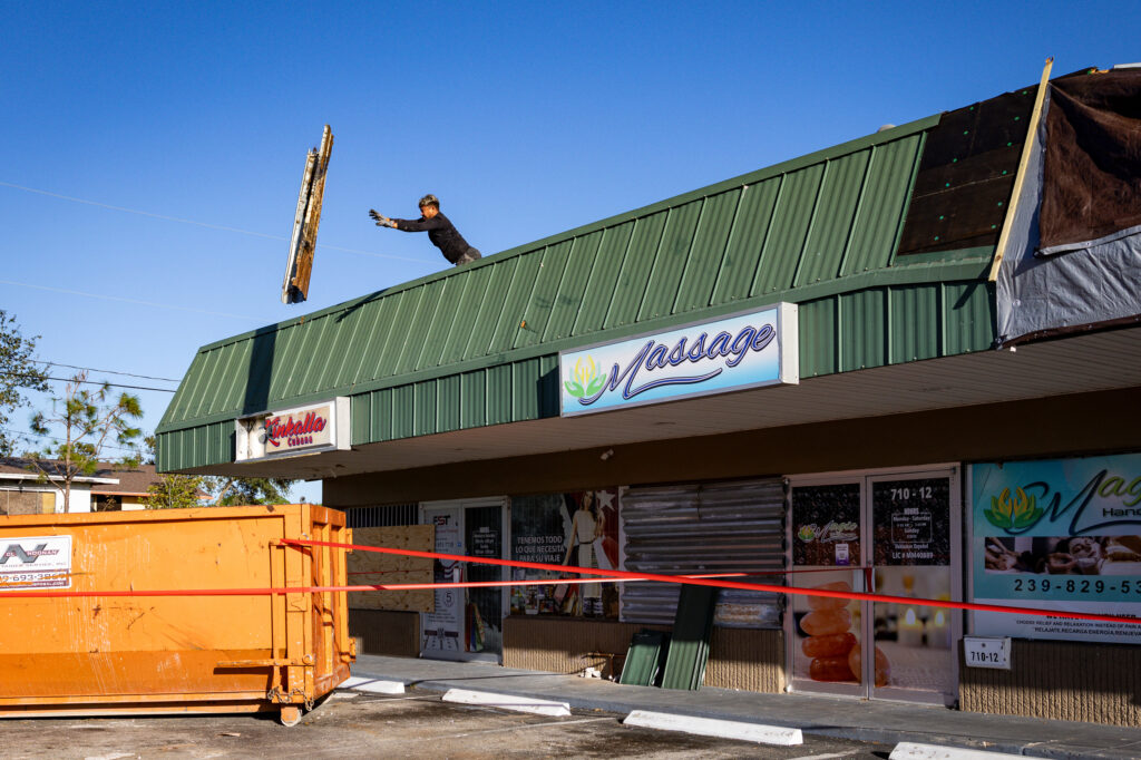
A key step to saving lives from tropical storms and hurricanes is to anticipate where they might go and get people out of the way. On this front, scientists have made tremendous strides in building longer lead times ahead of a storm’s landfall, and new tools are continuing to extend that lead. But the Trump administration’s recent cuts to departments that study and forecast weather are undermining this progress, while cuts to emergency agencies are slowing disaster responses.
Erin could be a major test of the results of these actions.
How hurricanes work, and how our decisions make them worse
Meteorologists often describe hurricanes as heat engines, meaning that they use a temperature difference to generate wind and rain. But to start up, a hurricane needs sea surface temperatures to be around 8


